In selecting a cycling route out of Auckland to the Coromandel or points further south the main consideration is to avoid busy main roads.
A good option is to catch the ferry from central Auckland to Pine Harbour and you also get to see one of the main attractions of Auckland the Hauraki Gulf. The ferry leaves from downtown Auckland and takes about half an hour. Once you are in Pine Harbour you are on quiet country roads which head south alongside the coast to Maraetai and then to Clevedon and then down through Kawakawa Bay to the Thames coast and down to Kaiaua.
From Kaiaua ride onto Waitakaruru and then on the right take the Canal E Road through to the main highway and turn left and you are on State Highway 2 and you can ride through Ngatea to Paeroa.
This can be a busy road with lots of trucks and there is an option of using the following back country roads. Heading along state highway 2 turn right into Central Road and then Torehape Road/Kaihape/Ferry/Reservoir Chanal Road/Awaiti Chanal Road/Awaiti W/Wani Rd/Pukahu. Then turn right into State Highway 2 cross the bridge and ride into Paeroa.On this route there will be very few cars or trucks to contend with.
Once you are in Paeroa you head up the Karangahake gorge but not on the main road as it is very busy and does not have an adequate shoulder. Instead use the Hauraki Rail Trail which is not steep. To get on the rail trail heading out of Paeroa turn right into State Highway 26 and then left into Rotokohu Road and this leads to the Rail Trail. Continue on the rail trail and exit the rail trail by turning right at Waitawheta Road.
This back country route joins up with State Highway 2 about 15 kilometres from Katikati. The main highway into Katikati has a shoulder but the traffic is very busy and care needs to be taken over this section.
The ride into Tauranga from Katikati is the busiest on the route and on this section there are no shoulders on the bridges. Great care is therefore required and you may have to wait to allow traffic to go by before crossing the bridges.
 |
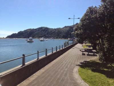
| Past Maraetai |
|
 |
| Hauraki Gulf |
 |
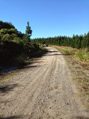
| Crossing the Hauraki plains on the back roads |
 |
| Hauraki Rail Trail |
 |
| Katkati |
 |
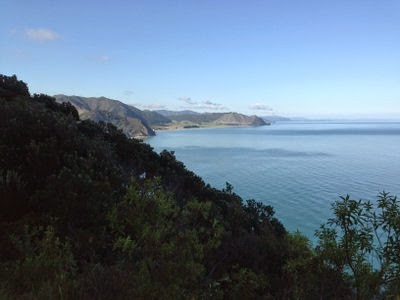
| The Firth of Thames |


